|
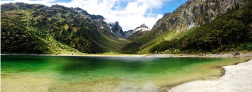 |
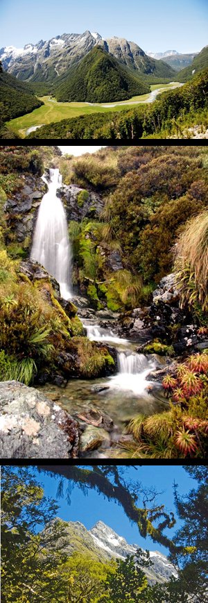
The Routeburn Track from very start to the end, takes about 3 days to walk. However, you dont have to be so ambitious. The trip to the summit and back takes about 3 hours but it worth every minute. An opinion is that if you do not have enough time to see all beauty of Fiordland National Park, and have to choose only one thing to do, this thing definitely should be visit to Key Summit on the Routeburn. The track starts on remarkable point called Divide. It is the lowest pass trough the Southern Alps. When you are driving to Milford Sound you just can’t fail to spot that place. There is a very convenient car park, fresh water supply, toilet and shelter. The track starts right there and leads through amazing forest to the summit. From the 919 m summit you can see the Hollyford, Greenstone and Eglinton valleys, mountains and lakes. The mount you see on the right is Mt Lyttle at 1896 m height and Mt Gunn (in the background, with snow on top of it) at 2050 m. |
|